Export Tab
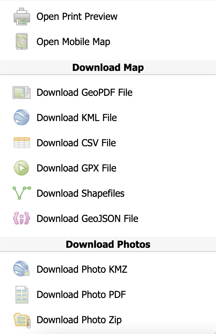
The Export Tab provides a variety of methods to export map data out of the Portal.

Print Preview bridges the gap between electronic and paper mapping with a flexible and
intuitive ability to print, export to PDF and generate Geo PDFs. It is a
“what-you-see-is-what-you-get” designer with configurable base maps and grid lines, with an
automatically generated legend and scale. The Portal allows you to pan and zoom to control
exactly what is printed.
Download Geo PDF function creates a spatially aware PDF file with high-quality symbology
that can be easily loaded into popular Geo PDF readers for usage offline.
Note
Shapefiles are exported from FireMapper Portal we use the WGS84 datum and include a prj file with the datum information so it can be detected by other applications.