To capture photos and send them to FireMapper. InFlight & FireMapper do not currently support video capture.
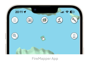
Open the Map in FireMapper that you would like to edit on the paired device.
Select the desired Camera using the buttons on the left sidebar. InFlight will only capture a photo
from the camera that is currently selected (e.g. Zoom, Wide, IR, etc). If you would like to capture IR &
Visible at the same time, use SBS mode on the IR camera view.
Tap the Capture Photo button on the right side of the pilot screen. You can also use the
Capture button on the remote controller to capture photos (e.g. DJI RC Plus, DJI RC Plus 2, etc).
The photo will be shared with FireMapper. It takes around 5 seconds to download the photo from the drone
and send it to the paired FireMapper device. If you are using a DJI mini series, the live video feed will
be paused while the photo is being downloaded. Other drones such as the M30T and Matrice 4 will continue
to show the live video feed while the photo is being downloaded.